Thinking about a Haliburton cottage and wondering how “lake chain living” really works? Maps show narrow blue lines between lakes, but the day-to-day experience is shaped by seasons, water levels and local rules. In this guide, you’ll learn how the chains connect, typical travel times, what changes through the year, and the practical questions to ask before you buy. Let’s dive in.
What a lake chain is in Haliburton
A lake chain is a sequence of lakes linked by channels, rivers, shallow stretches or small man-made cuts. In Haliburton, most connections are natural channels shaped by glaciers, with a few control structures at outflows that influence water levels.
Why this matters when you are buying:
- Access: Some shorelines have direct through-water access to other lakes, while others sit on quiet, dead-end arms.
- Recreation: Chains allow longer cruising routes, varied scenery and more fishing options without trailering your boat.
- Water level and flow: Upstream and downstream dynamics can change dock height needs, shoreline access and erosion risk.
- Ecology: Connections create pathways for fish and potential invasive species, which informs local management actions and best practices.
How connections actually work
Types of links you will see
- Natural channels and rivers: Often narrow, winding and sometimes shallow. Navigability depends on current water levels and recent weather.
- Short canals or cuts: Less common, but you may find small man-made passages between basins.
- Dams and control structures: Present at some outflows to manage levels for flood control or access. Most smaller Haliburton chains do not have lock systems, so certain dams limit boat passage.
- Portages: Paddlers may carry overland where motorized passage is not possible.
Public and private access
- Public boat launches: Municipal or provincial ramps offer access to popular routes. Parking or launch permits can apply.
- Private docks and water-access properties: Many cottages have private docks. Some shorelines are water-access only, which affects logistics in every season.
- Marinas and services: Near Haliburton Village and around the county you will find marinas for fuel, docking, winter storage and route advice. Many operate seasonally.
Navigability basics
- Depth and shoals: Expect seasonal shallows, especially in late summer or during dry years. Shoals and rocks can sit just below the surface.
- Width and turning room: Narrow channels limit passing and reduce safe speeds for larger boats.
- Obstructions: Logs, rocks and weed growth shift with weather and water levels. Local maps and resident knowledge are valuable.
- Speed rules and no-wake zones: Bylaws often limit speed near shorelines, docks and within channels. No-wake sections can be long and will slow trip times.
Travel times on the chain
Exact times vary with the route, your boat and that day’s conditions. Use these ranges to shape your expectations and plan safely.
- Short channel crossings, about 0.5 to 2 km: Often 5 to 20 minutes by powerboat where cruising speed is permitted.
- Moderate lake transits, about 2 to 5 km: Often 15 to 45 minutes depending on boat type, traffic and conditions.
- Longer connected routes, about 5 to 15+ km: Anywhere from 30 minutes to several hours, especially with no-wake zones and stops.
- Canoe or kayak: Recreational paddlers average about 3 to 6 km per hour. A motor-boat hop can be a 1 to 3 hour paddle or more.
Key variables that change your timing:
- Speed limits and no-wake zones that cut average speed.
- Water levels that slow or block narrow sections.
- Boat type and engine. Pontoons cruise slower than bowriders. Jet boats handle shallows differently from prop boats.
- Traffic and passing around marinas and narrow channels, especially on summer weekends.
- Weather and visibility. Wind creates chop on open lakes and fog requires slower speeds.
Practical tip: Estimate by dividing your route distance by a realistic average speed, then add time for no-wake segments and channel congestion. Ask local marinas or long-time residents for current advice.
Seasons and the annual cycle
Boating season
- Spring: Ice-out is often in April. High water and runoff can expand connections but add fast current and floating debris.
- Summer: Peak traffic and warm water. Expect the most congestion and the broadest marina hours.
- Fall: Cooler water and quieter routes. Changing levels can begin to affect shallow connections.
- Winter: Ice cover is typical from December to March. Boating stops, docks are removed or winterized, marinas close for haul-out, and access shifts to snowmobiles or ice fishing.
Water level management
- Controlled vs uncontrolled lakes: Some lakes have regulated flows that shape seasonal levels. Others respond mainly to precipitation.
- Low-water years: Docks can sit high and channels may become impassable late in the season.
- Spring runoff and flood periods: Higher shorelines and stronger currents are possible for short stretches.
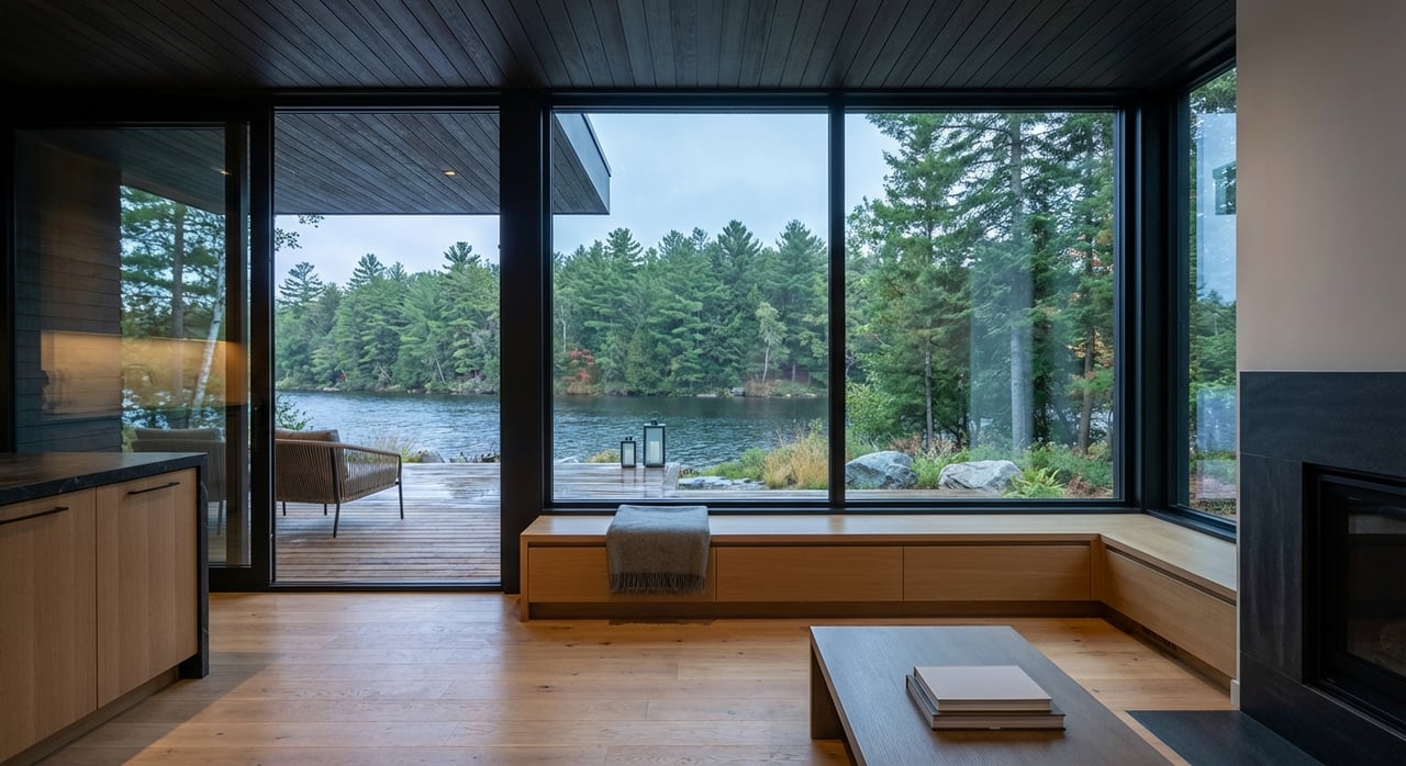
Daily life on a lake chain
Recreation and social life
Chain living opens up day-trip cruising, quiet bays for paddling and a wider set of fishing spots. It also creates social corridors on the water. You will share channels with paddlers, anglers, tubers and skiers, so local etiquette and bylaws matter to keep everyone safe.
Property access and logistics
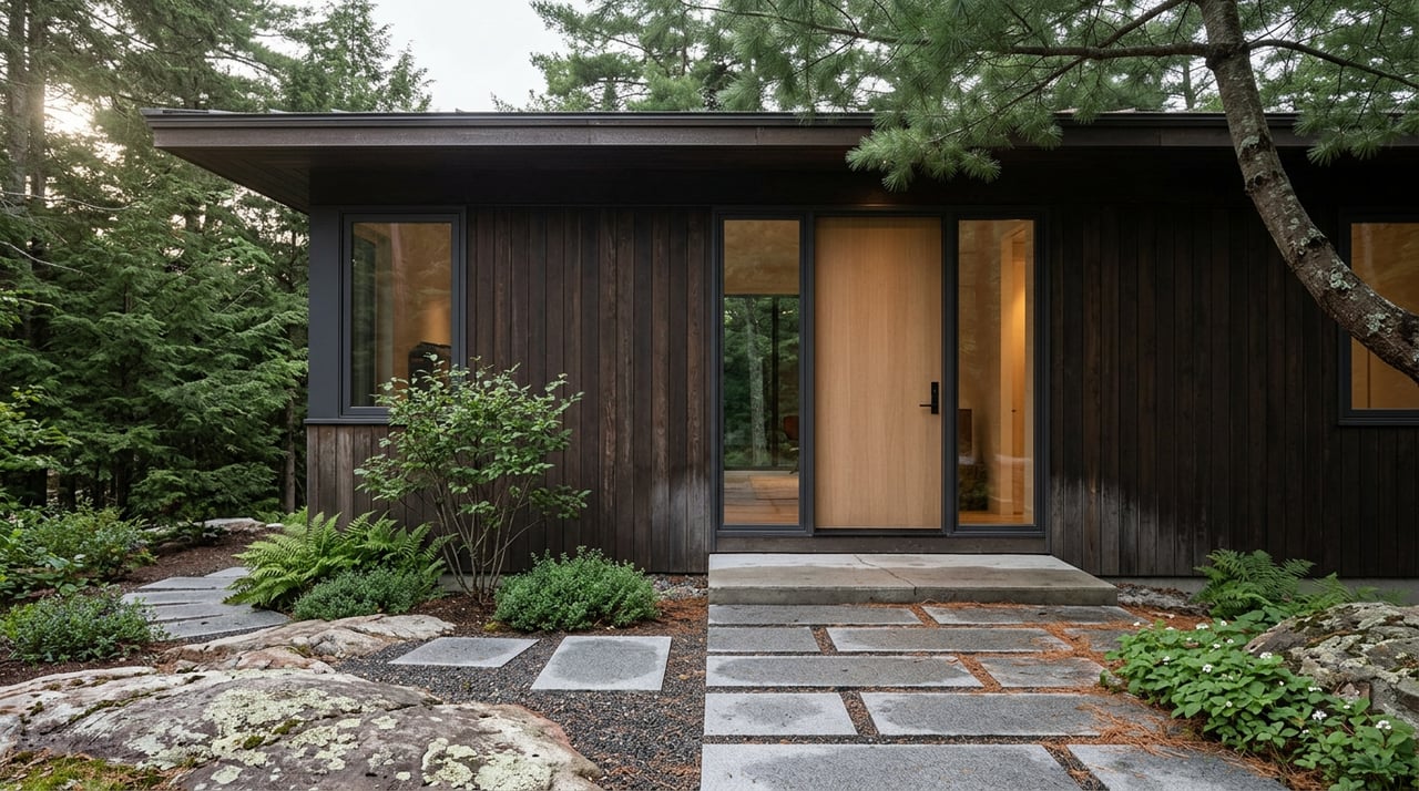
Most services like deliveries, garbage and mail rely on roads. If your property is water-access only, you will plan for boat transport, parking at a marina, and seasonal timing. Chain properties often require adjustable or seasonal docks because water levels change. Shoreline work typically needs permits and must align with local conservation rules.
Safety, services and insurance
Know your nearest safe landing points and how emergency responders access your area. EMS and fire services rely mainly on roads, though some areas have marine rescue capability. Insurance for waterfront homes can reflect chain characteristics like traffic and local hazards, so it pays to ask coverage questions early.
Rules and responsibilities
Boating basics in Ontario
- Operator card: If you operate a motorized pleasure craft, you are required to have a Pleasure Craft Operator Card. Check Transport Canada for current requirements.
- Required gear: Lifejackets, navigation lights, sound signals and other gear depend on boat size and type.
- Vessel documentation: Registration or licensing applies to powered pleasure craft. Confirm details with federal and provincial authorities.
Local bylaws and permits
- Speed and no-wake: Municipal rules often set speed limits near shorelines and within channels to protect property and habitat.
- Dock and shoreline work: Permits and setbacks are common. Always check with the municipality and conservation authority before replacing a dock or altering the shore.
- Launch and parking rules: Some public ramps require permits or have posted restrictions.
Protecting the lakes
- Invasive species: Connected waters raise the risk of spread. Follow clean, drain, dry practices and use boat-wash stations where available.
- Shoreline protection: Maintain vegetated buffers and respect no-wake guidelines to reduce erosion.
- Waste and sewage: Use proper pump-out services and maintain septic systems. Avoid any discharge into the lake.
How to choose the right spot on a chain
A little due diligence will help you match the property to your lifestyle.
- Position on the chain: Decide if you prefer a through-route location with easy movement or a quieter side bay with less boat traffic.
- Channel conditions: Ask about typical depths, late-summer levels and any regular shoaling or weed growth that affects passage.
- No-wake and speed zones: Understand posted rules near the property. These shape noise levels and travel times.
- Water-level history: Ask sellers or neighbors about low-water years and how docks were adjusted.
- Access to marinas and launches: Note distance and congestion during peak times if you rely on fuel or seasonal storage.
- Road vs water access: Confirm winter access, parking and how deliveries work.
- Dock systems: Look for adjustable or modular docks suited to seasonal change.
- Emergency planning: Identify the nearest road access point and safe landing spots for emergencies.
- Insurance considerations: Discuss traffic, hazards and shoreline exposure with your insurer.
Showing-day checklist
Use this quick, on-the-water checklist when you tour a potential purchase.
- Time a practical route: Boat from the property to the nearest marina or village at a calm, legal speed and note no-wake sections.
- Check channels: Idle through any narrow connections you will use often and watch for depth, turn radius and passing room.
- Look for signage: Observe posted limits, hazard markers and any local notices.
- Inspect the shoreline: Evaluate dock height, adjustability and signs of erosion.
- Ask seasonal questions: Ice-out timing, late-summer water levels and any years when passages were closed.
- Confirm permits: Understand what approvals were needed for the current dock and what is required for future changes.
Work with an advisor who lives the lifestyle
Lake chains reward curious, prepared owners. If you want the reach of a major brokerage with boutique, design-led guidance, you will feel at home with Birchwood. As a builder-turned agent and hospitality operator in Haliburton, I combine practical, on-the-water insight with curated presentation to help you buy the right cottage for how you live.
If you are exploring Haliburton’s connected lakes and want a clear plan for routes, seasons and property fit, let’s talk. Connect with Ryan Harkin for thoughtful advice, private tours and a smooth path to ownership.
FAQs
Can you boat Haliburton chains year-round?
- No. Ice cover in winter stops boating. Spring levels, summer shallows, no-wake rules and occasional dams also affect passage. Verify current conditions locally.
How long does it take to reach a marina by boat?
- Expect 5 to 60+ minutes depending on distance, posted limits, channel congestion, boat type and weather. Add time for no-wake sections.
Are chain lakes busier than single lakes in summer?
- Often yes. Through-traffic increases activity, especially on weekends. Properties in side bays typically experience quieter conditions.
Do you need permits to replace a dock on a chain?
- Usually. Municipal and conservation authority rules apply to docks and shoreline work. Confirm requirements before you plan changes.
How do invasive species affect connected lakes?
- Chains raise the risk of spread. Follow clean, drain, dry practices, inspect gear and use boat-wash stations where available.
What is winter like for chain properties?
- From December to March, ice cover is typical. Access shifts to snowmobiles and on-ice activities, and marinas close for seasonal haul-out.